
Turn your achievement into a 3D map
Personalise it with your name, event year, finish time, team, club or a short message.
Create my finisher mapTurn a gran fondo, MTB marathon, stage race, bikepacking route or personal ride into a custom 3D terrain map.
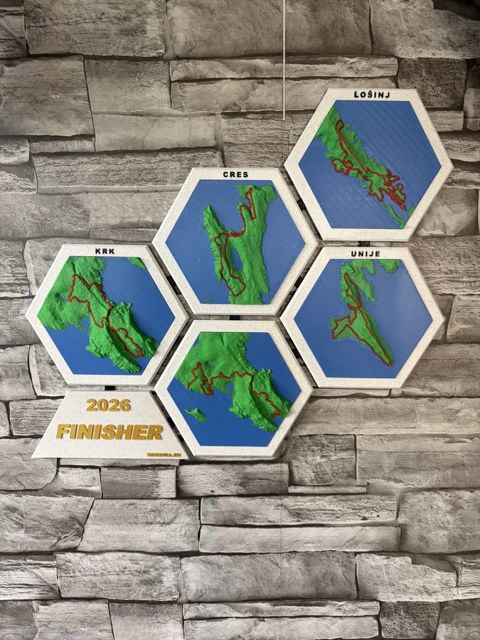
Every ride or race can become a personal keepsake, a pre-planned design or a participant edition produced in quantity.
Personalise it with your name, event year, finish time, team, club or a short message.
Create my finisher mapSend the official route now. Personal details such as your finish time can be added after the event.
Plan my route mapOffer maps as registration extras, starter-pack add-ons, finisher gifts, podium awards or sponsor editions.
Request an event mockupFinisherMaps covers road cycling and mountain biking together because both begin with the same thing: a route worth remembering. Relief maps can show a single event course, multiple stages, an iconic climb or a personal route that exists only in your activity history.
Large destination events combine recognisable terrain, international participation and routes riders train months to complete.
Maratona dles Dolomites, Sportful Dolomiti Race and other high-mountain routes built around iconic passes.
4Islands Epic and Adria Bike events, with coastlines, islands, limestone and connected-stage possibilities.
HERO Südtirol Dolomites, Salzkammergut Trophy, Dolomiti Superbike and Swiss Epic.
Real Finisher Maps products made from memorable routes, with terrain, route line and personal details brought together in one physical piece.
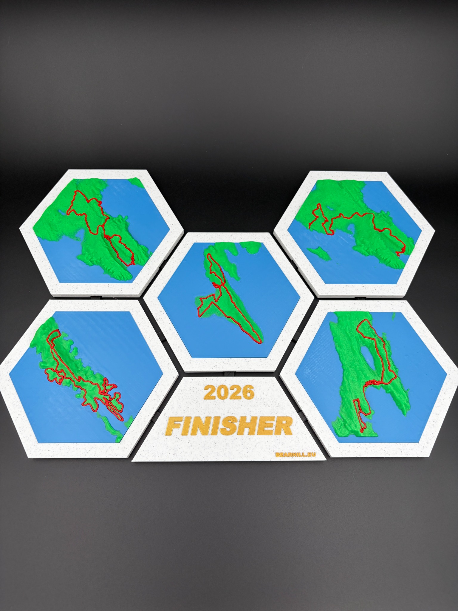
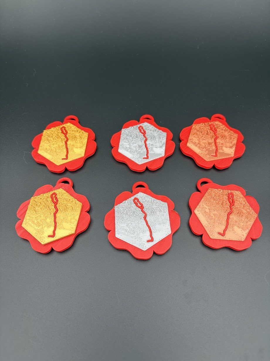
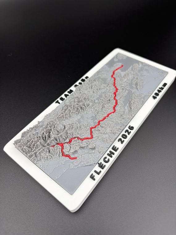
If the activity is saved in a sports account, GPS device or route-planning app, export the file or send a public activity link. It does not matter whether you completed it this year or ten years ago.
GPX is usually the simplest option, but the best file is the clean activity you already have. Private account access is never required.
Send route detailsTell us the event, expected quantity and deadline. We can review one sample or plan production for 10, 50, 100 or 250+ participants.
Send the race or route name, year and the details you want on the map. A short message is enough for the first review.
Email: info@bearhill.eu
WhatsApp: +385 91 527 2499
WhatsApp messages only. This number is not used for phone calls.
For GPX, logo or photo attachments, email the files after submitting and use the same name.