4Islands 2026 collection

Four islands. Five stages. Your finish.

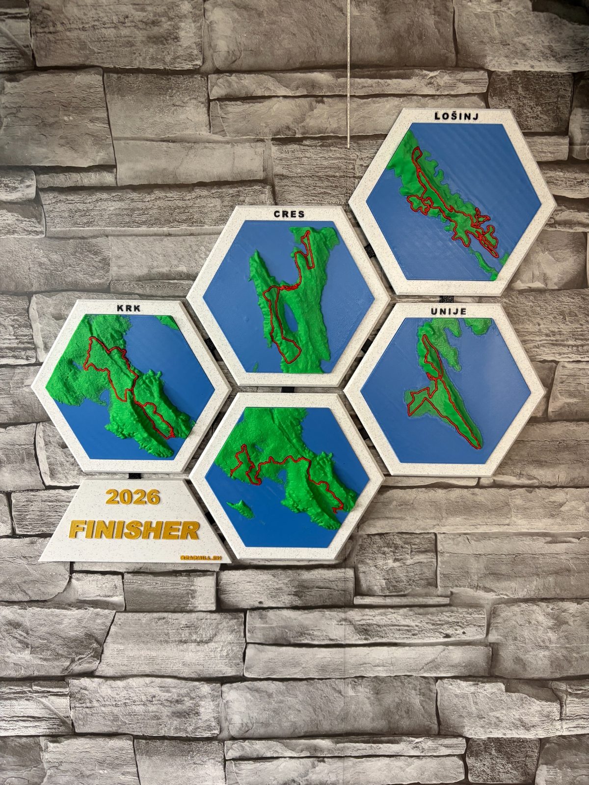
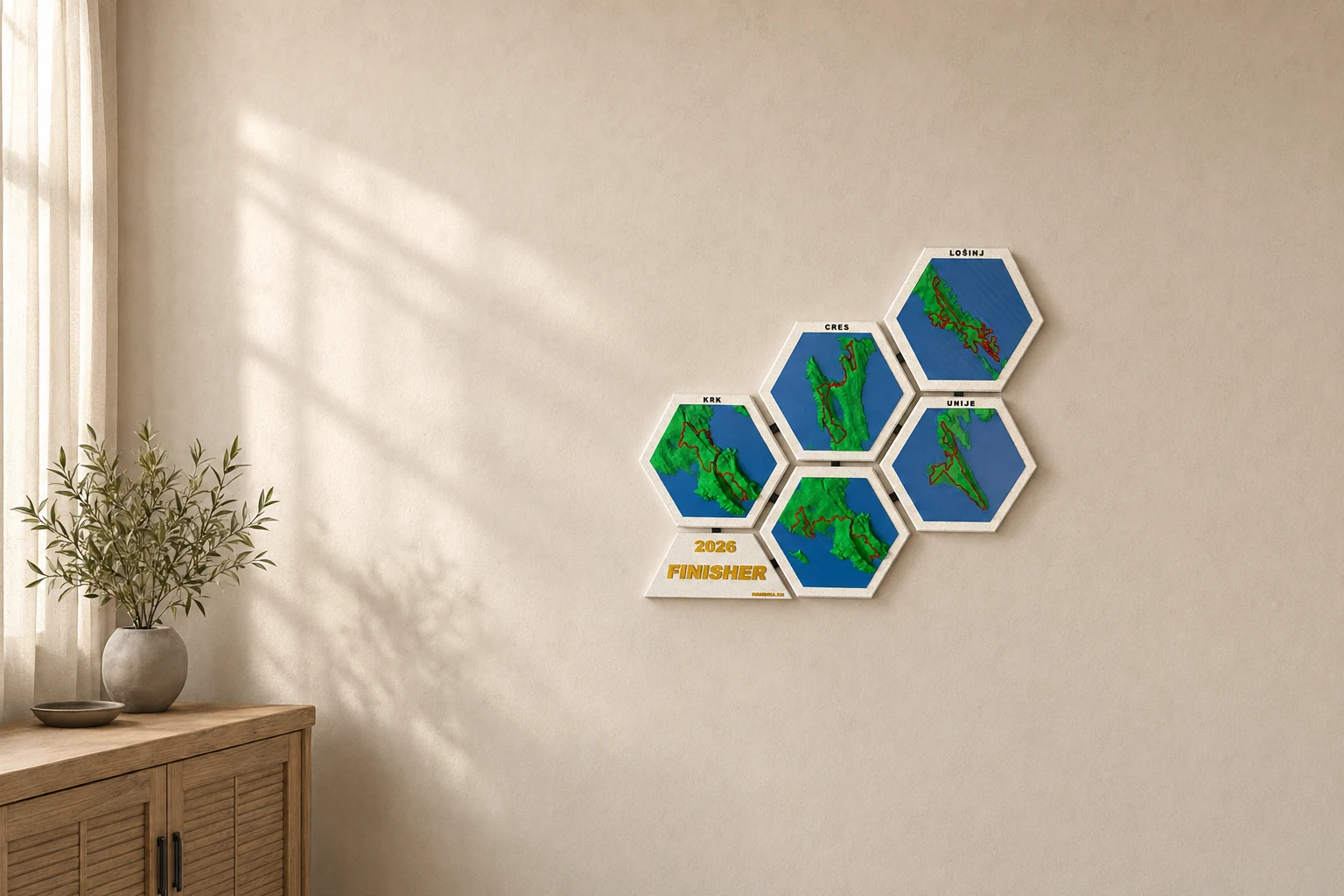
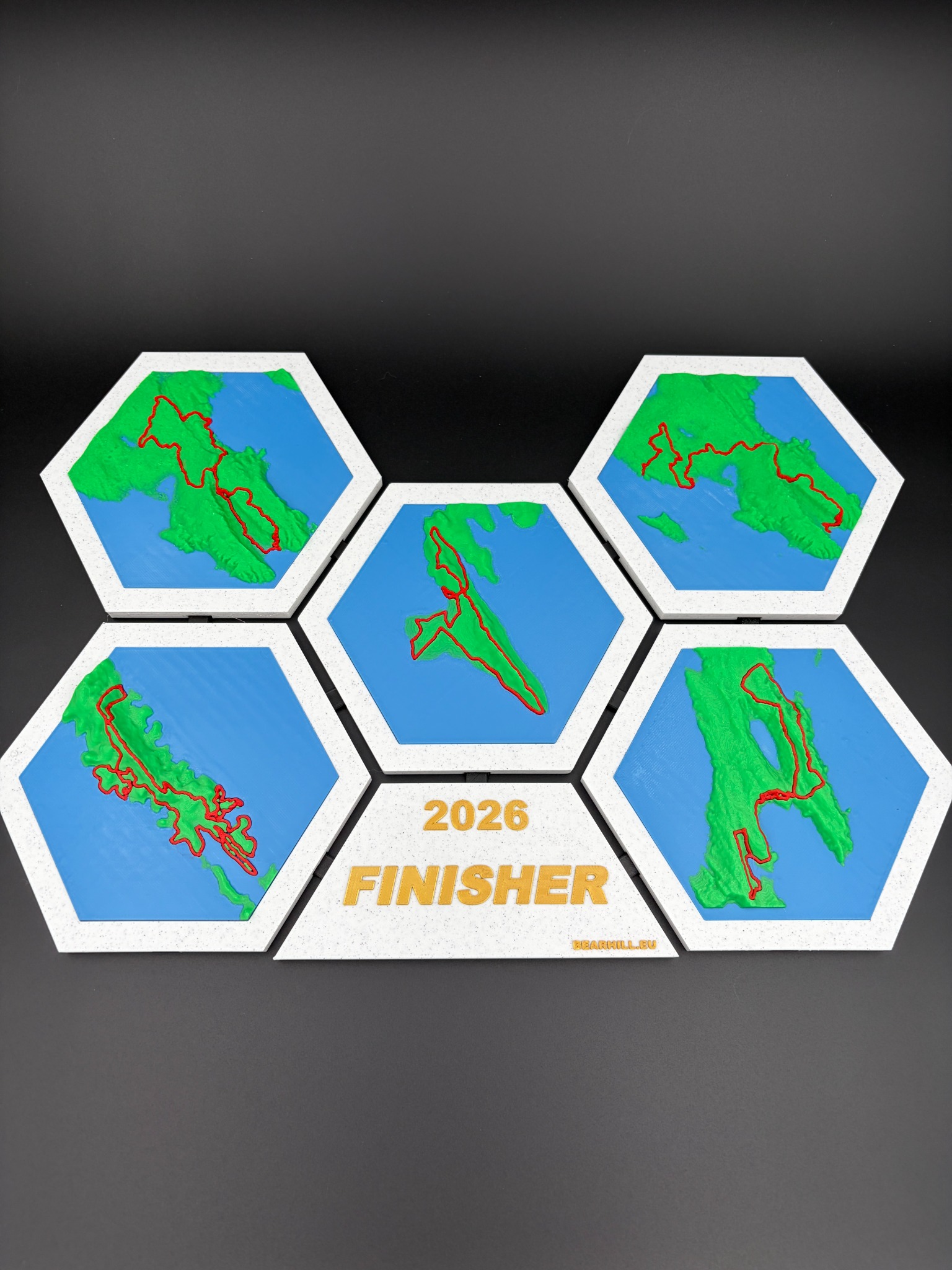
A modular relief map of the race from Baška to Mali Lošinj, following the 2026 route across Krk, Cres, Unije and Lošinj.

14 to 18 April2026 race edition
5 stagesKrk hosts the first two
About 300 kmFrom Baška to Mali Lošinj
About 6,500 mAccumulated climbing
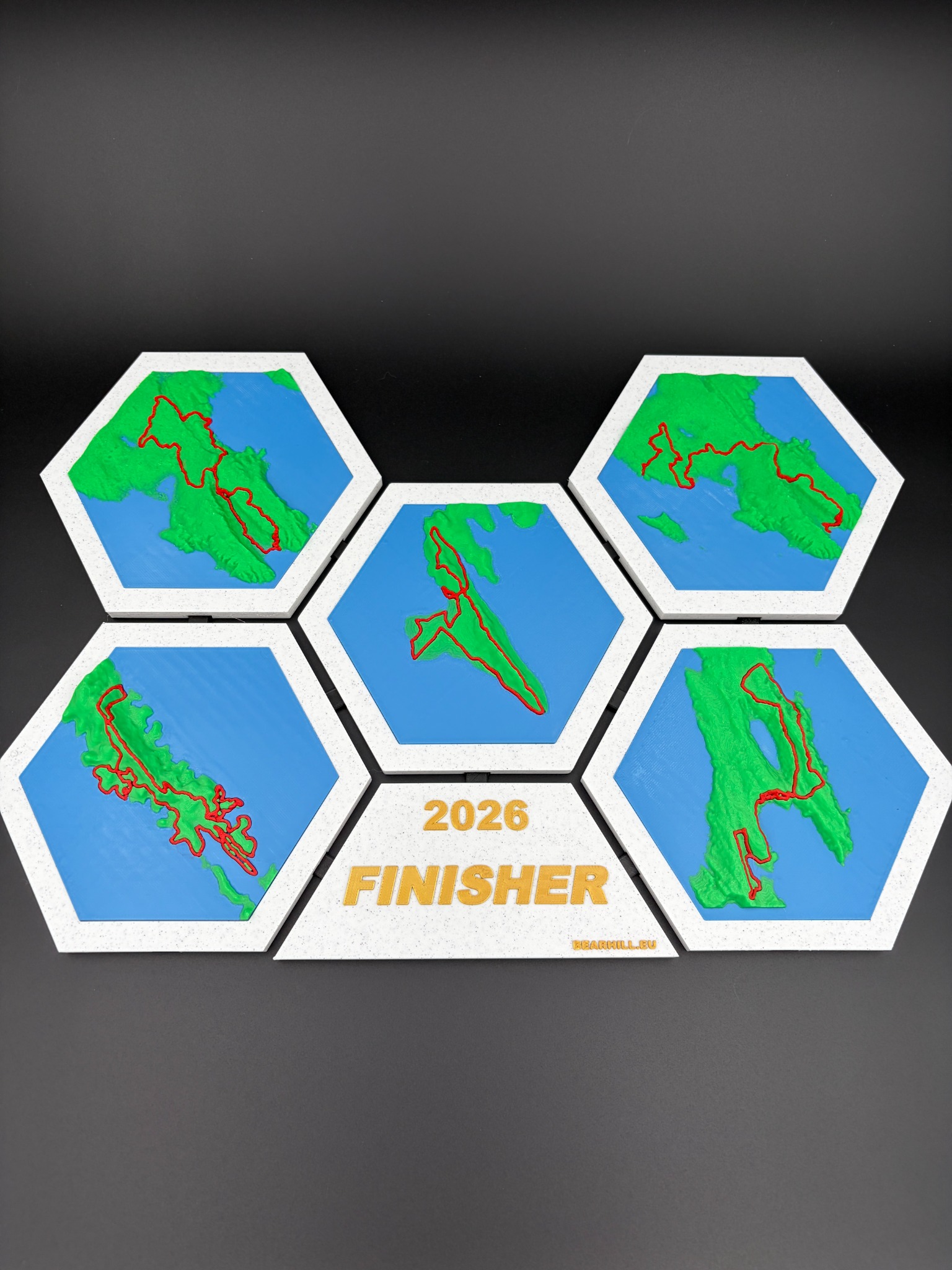
Complete four-piece 4Islands relief map displayed together

More than the route line on a flat poster.

4Islands is unusual because the landscape is not simply a background. The race changes character every time riders cross the sea. Bare limestone above Baška, remote Cres tracks, the compact Unije time trial and the technical finale around Mali Lošinj all belong to one event, but each island leaves a different memory.

The map collection preserves that difference. Every coastline and elevation change is represented as physical relief, while the highlighted line follows the route across the terrain. The four island pieces can be displayed together as one composition or separated to fit your wall.

Official 2026 race route information

One island or the complete race.

Both options use the same visual system and route edition. Start with one island now and add the others later.

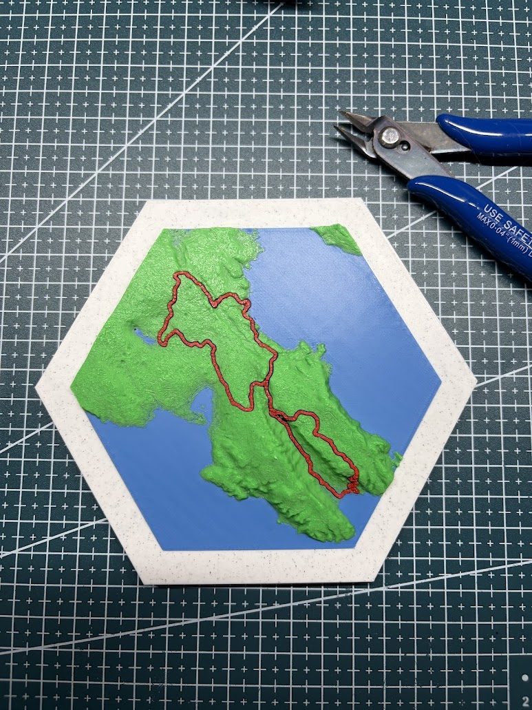
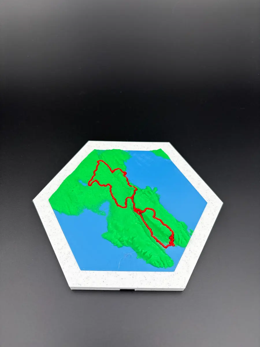
Single island tile from the 4Islands collection
Single island

Choose the island that stayed with you

Choose Krk, Cres, Unije or Lošinj. The single tile follows the 2026 route and remains compatible with the rest of the collection.

  • Your choice of one island
  • 2026 route edition
  • Expandable later
  • Made to order
€25plus shipping
Choose an island
BOX NOW

Croatia €2BOX NOW parcel locker

EU from €10Based on destination

Stripe checkoutCard details are not stored by Bearhill Lab

Every island changes the race.

The overview uses the organiser's published route information. Distances and elevation can be adjusted by the event, so the official race page remains the final source for participation and course details.

Stage 01

Krk

68 km | 1,500 m

A loop from Baška through coastal tracks, technical sections and the Moon Plateau.

Stage 02

Krk

85 km | 1,850 m

The longest day, combining exposed coast, vineyards, forest and sustained climbing.

Stage 03

Cres

83 km | 1,900 m

Remote terrain from the Merag ferry to Cres, with the largest climbing figure of the week.

Stage 04

Unije

23 km | 350 m

A compact individual time trial past cliffs, a lighthouse and the island airstrip.

Stage 05

Lošinj

42 km | 1,000 m

Technical climbs, fast descents and coastal trails before the final line in Mali Lošinj.

The course is only half the story.

The island relief gives the route context. It shows why a short line can be steep, why the coast is always close and why each ferry crossing feels like the start of a different race.

01

Coastline

The recognisable outline of each Kvarner island gives the modular collection its structure.

02

Elevation

Ridges, plateaus and valleys create real depth rather than a printed illusion of terrain.

03

Race line

The highlighted 2026 route connects the geographic model to the event you followed or finished.

04

Island sequence

Krk, Cres, Unije and Lošinj can be read as separate places or one five-stage journey.

05

Personal details

Name, team, race year and finishing time can be discussed for a personalised edition.

06

Previous years

If a different race edition matters to you, send the year and route information for review.

I wanted to remember the ground, not only the result.

My own memory of 4Islands was inseparable from the terrain. A GPS trace could show where I had ridden, but it could not carry the feeling of limestone, sea crossings, exposed plateaus and the way each island changed the rhythm of the race.

The first map was an attempt to keep that whole experience visible. That is still the purpose of the collection today. It is not official merchandise and it does not try to replace the medal. It gives the medal a landscape.

Read the full Finisher Maps story
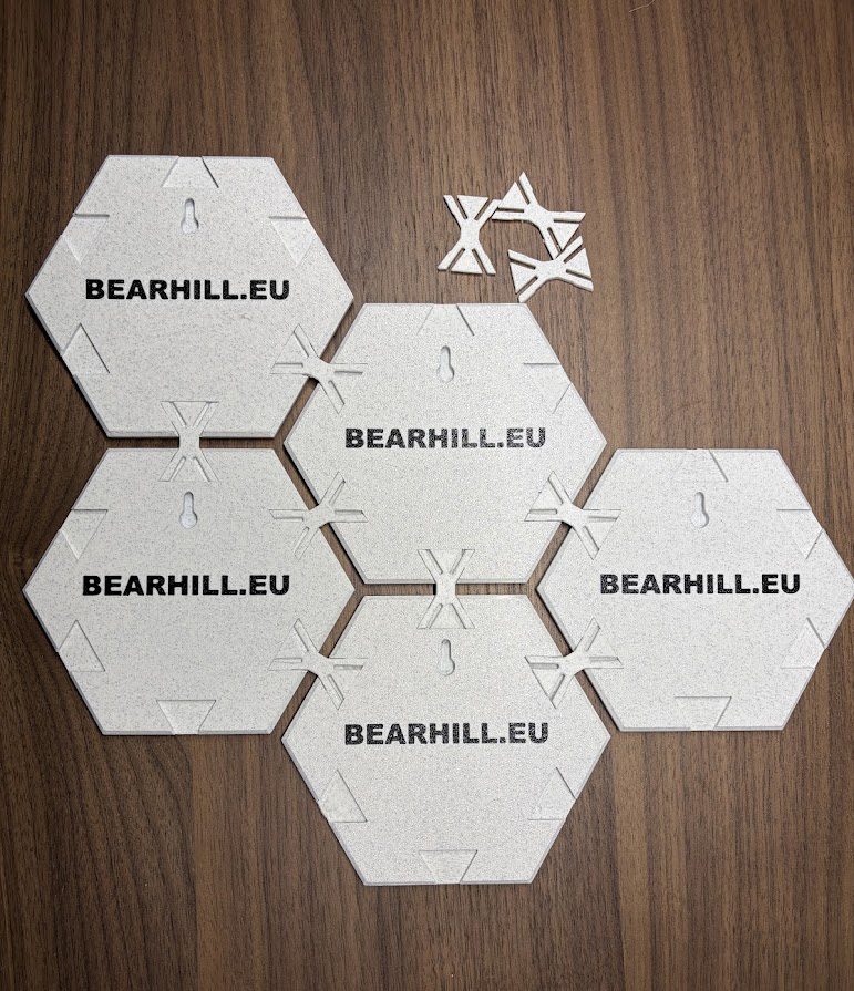
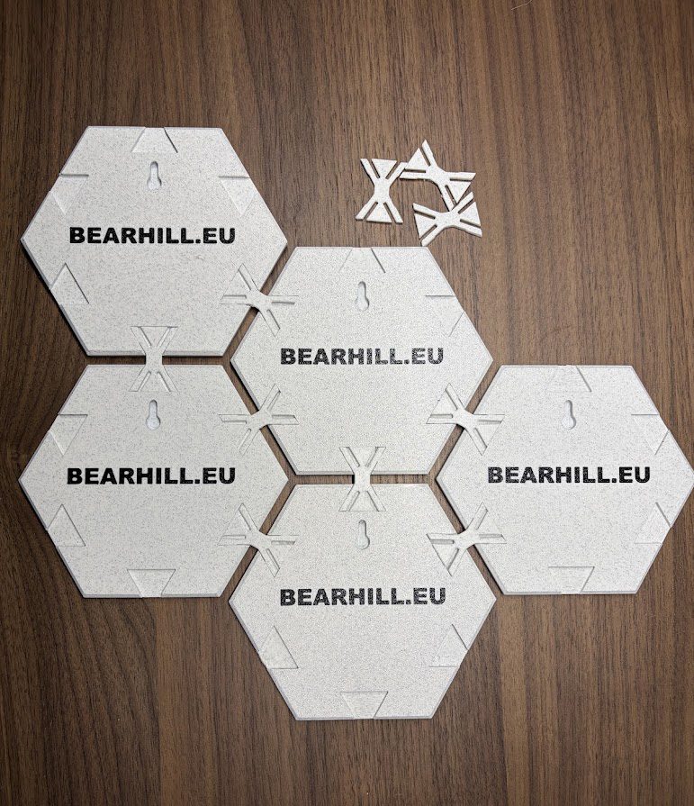
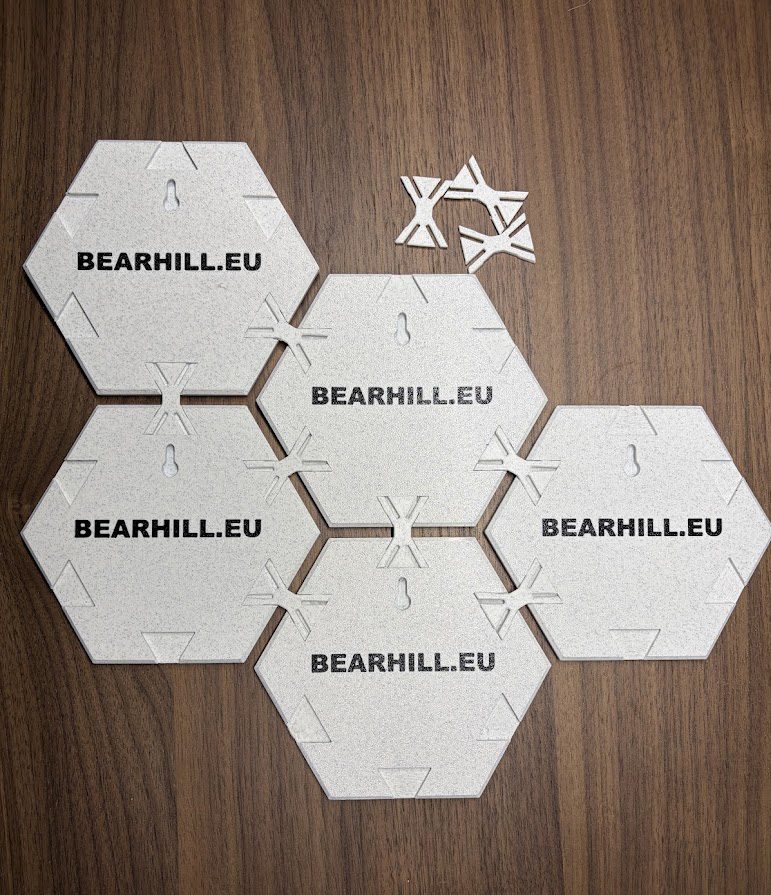
Four-island relief map being arranged into a connected display

4Islands map FAQ

Email info@bearhill.eu if you need a personalised version or a previous route year.

Is this official 4Islands merchandise?

No. Finisher Maps is an independent Bearhill Lab project. It is not affiliated with, endorsed by or sponsored by 4Islands Epic, Epic Series or IRONMAN.

Which islands are included in the complete collection?

The complete set contains Krk, Cres, Unije and Lošinj. Krk carries Stages 1 and 2, so four island tiles represent all five stages.

How do I choose my island after ordering a single tile?

Send your order email and island choice to info@bearhill.eu after checkout. Choose Krk, Cres, Unije or Lošinj.

Can I add my name, team or finishing time?

Yes. Personalised text can be discussed before production. Email the exact name, team, result, race year and any short message you want considered.

Can I order a map for another race year?

Previous route editions and custom GPX versions can be reviewed by request. Availability depends on usable route and elevation data for that year.

How much is shipping?

BOX NOW parcel locker delivery in Croatia is €2. EU shipping starts at €10 and depends on destination and parcel size. International shipping outside the EU is available on request.

Tell me which route matters.

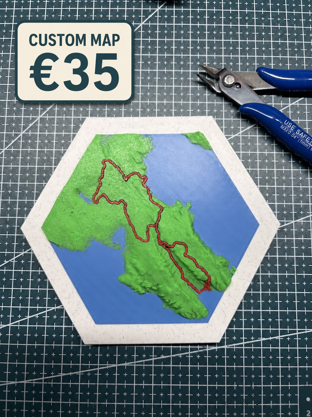
Send the race or route name, year, the details you want on the map and the delivery country. A short message is enough for the first review.

Email: info@bearhill.eu

WhatsApp: +385 91 527 2499
WhatsApp messages only. This number is not used for phone calls.

For GPX, logo or photo attachments, email the files after submitting and use the same name.