Why four island tiles represent five stages
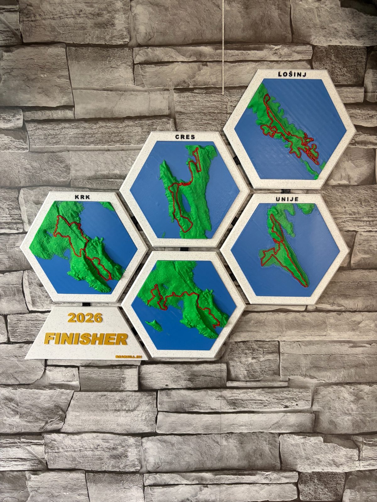
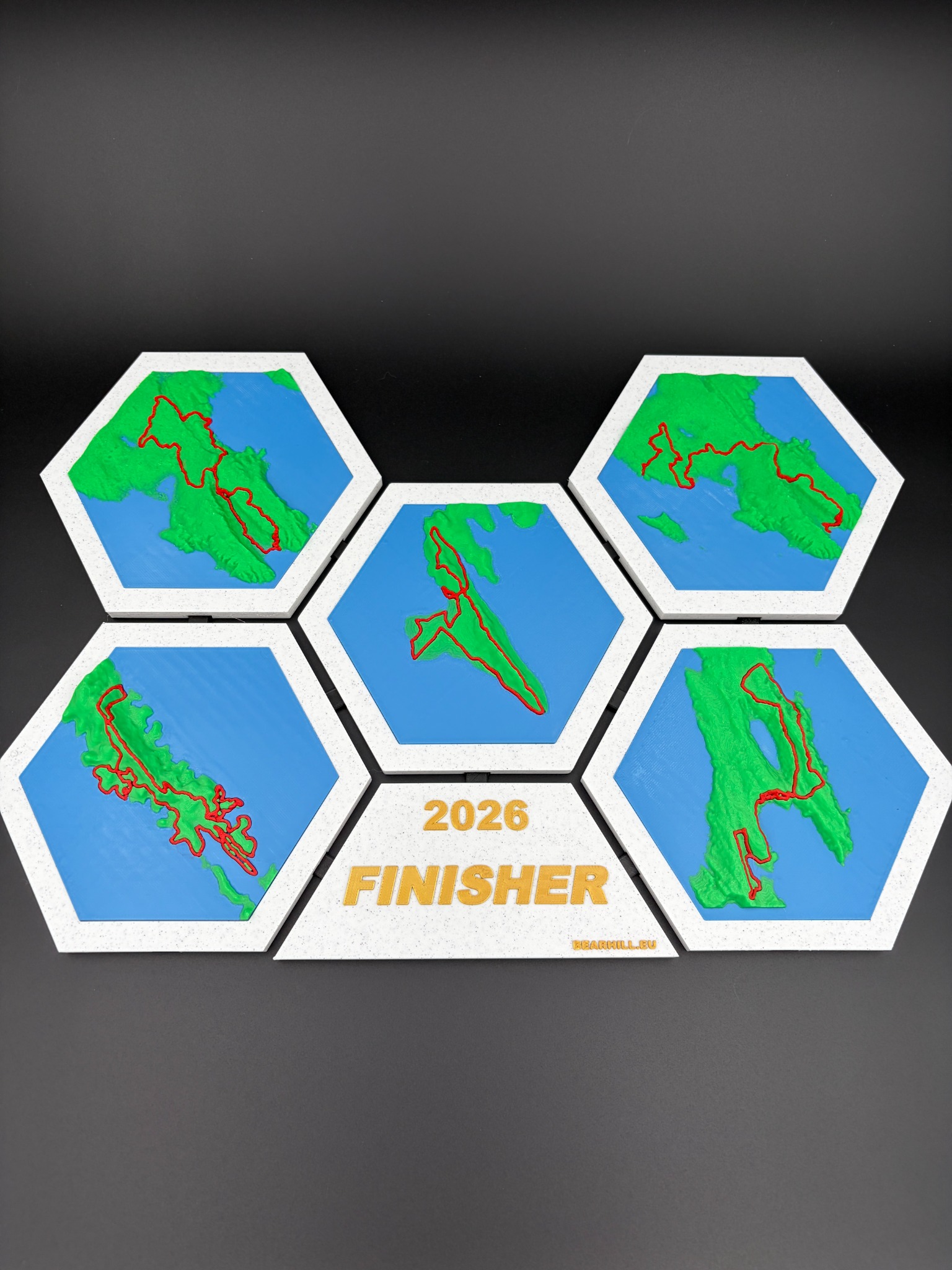
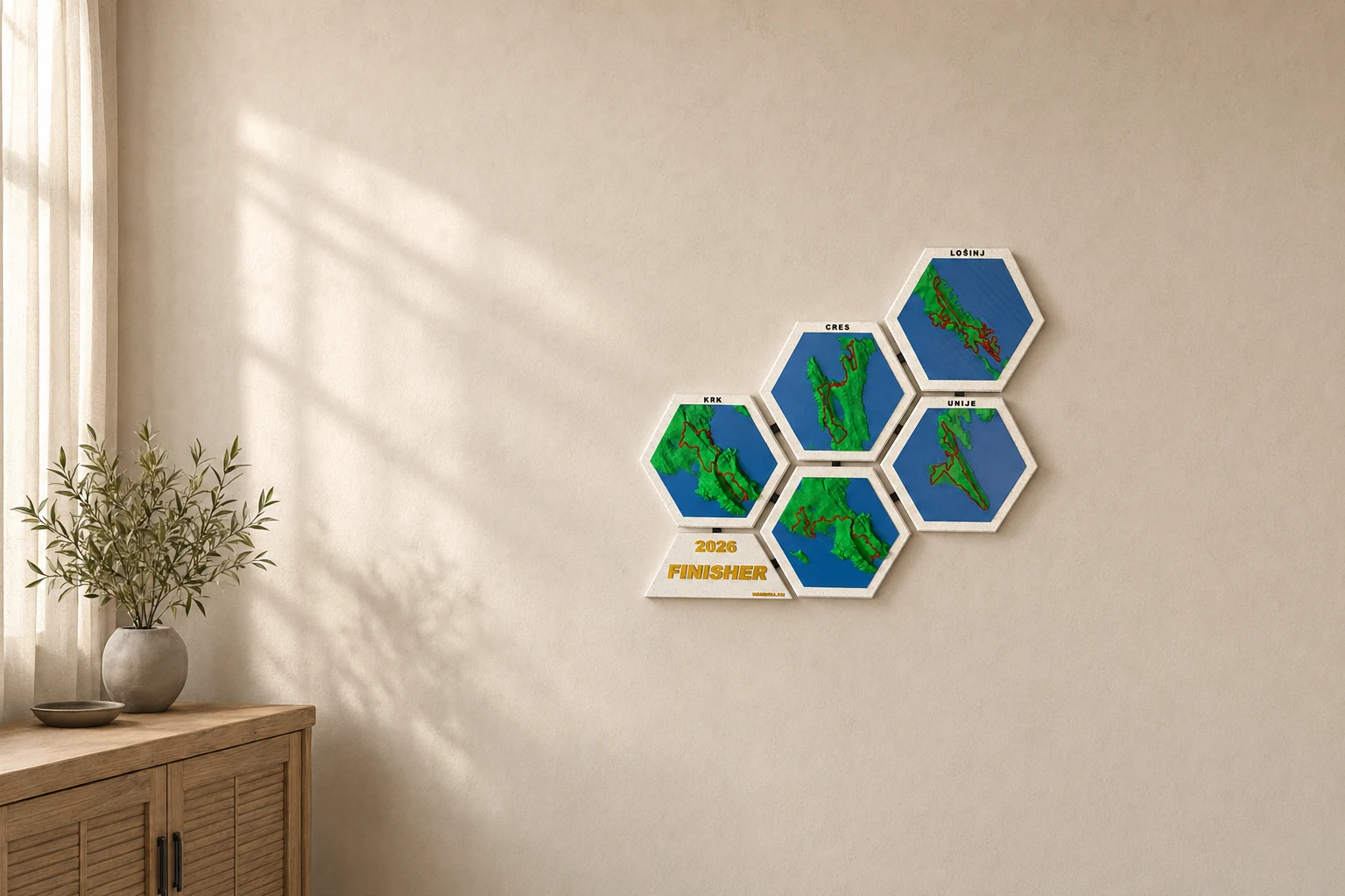
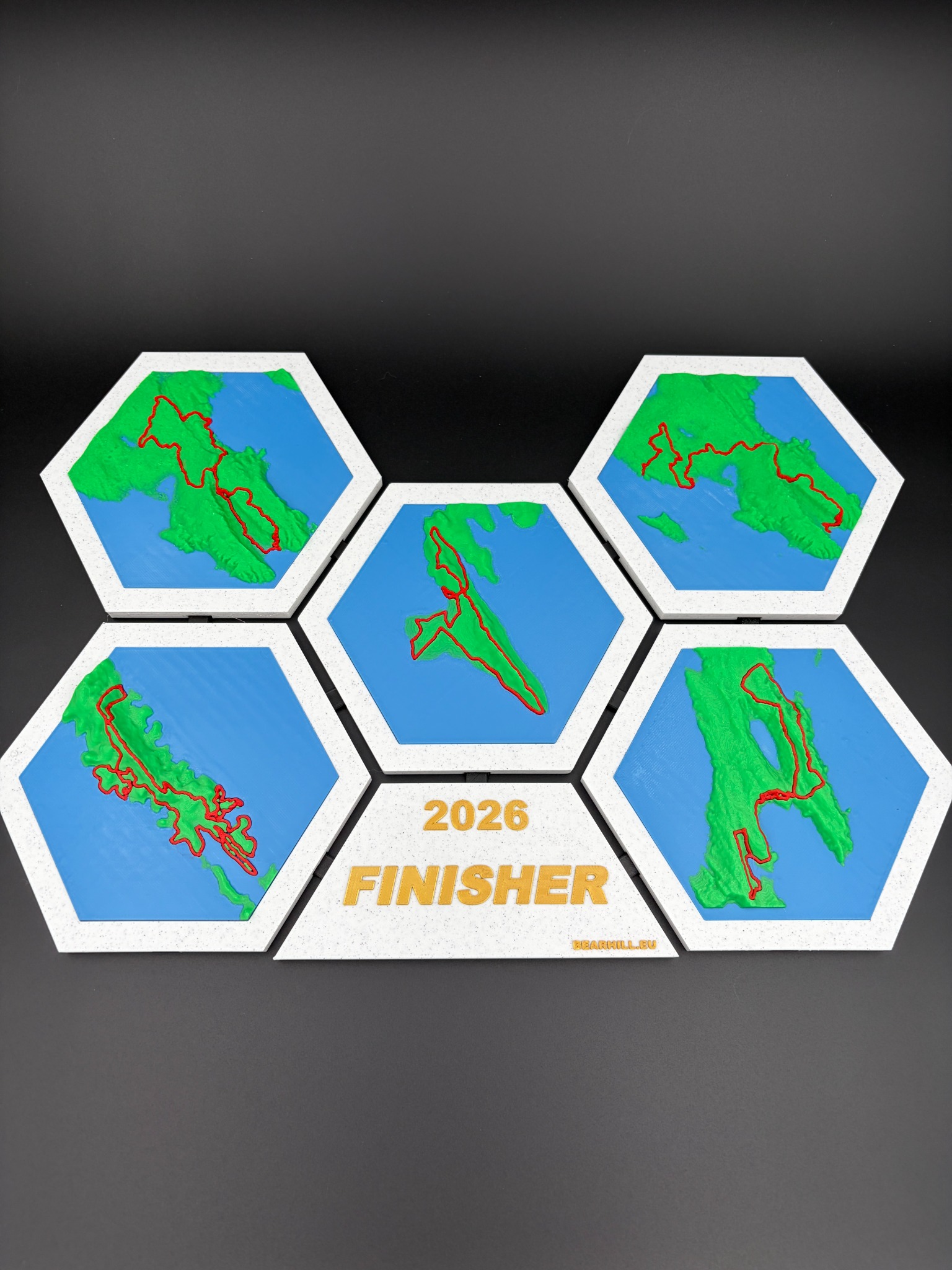
The 2026 4Islands route starts in Baška on Krk and finishes in Mali Lošinj after five days of racing. Krk hosts both opening stages. Cres carries the long remote third stage, Unije hosts a short individual time trial, and Lošinj closes the race with a technical finale. The complete relief collection therefore uses four island forms to tell a five-stage story.
The event overview describes approximately 300 kilometres and 6,500 metres of climbing. Individual stage figures add more detail, but the overall published totals remain the clearest way to describe a course that may receive final adjustments from the organiser.
Route source
This editorial guide follows the organiser's published 2026 route overview. Riders should always use the official event website, rider manual and current GPX files for navigation, preparation and race decisions.
Stage 1, Krk: Baška and the Moon Plateau
68 km and 1,500 m climbing
The first day begins and ends in Baška. Rather than easing riders into the week, the course moves quickly through urban sections, coastal paths and technical singletrack before climbing onto the exposed terrain of the Moon Plateau. Fast gravel rewards momentum, while the narrower sections demand good positioning and control.
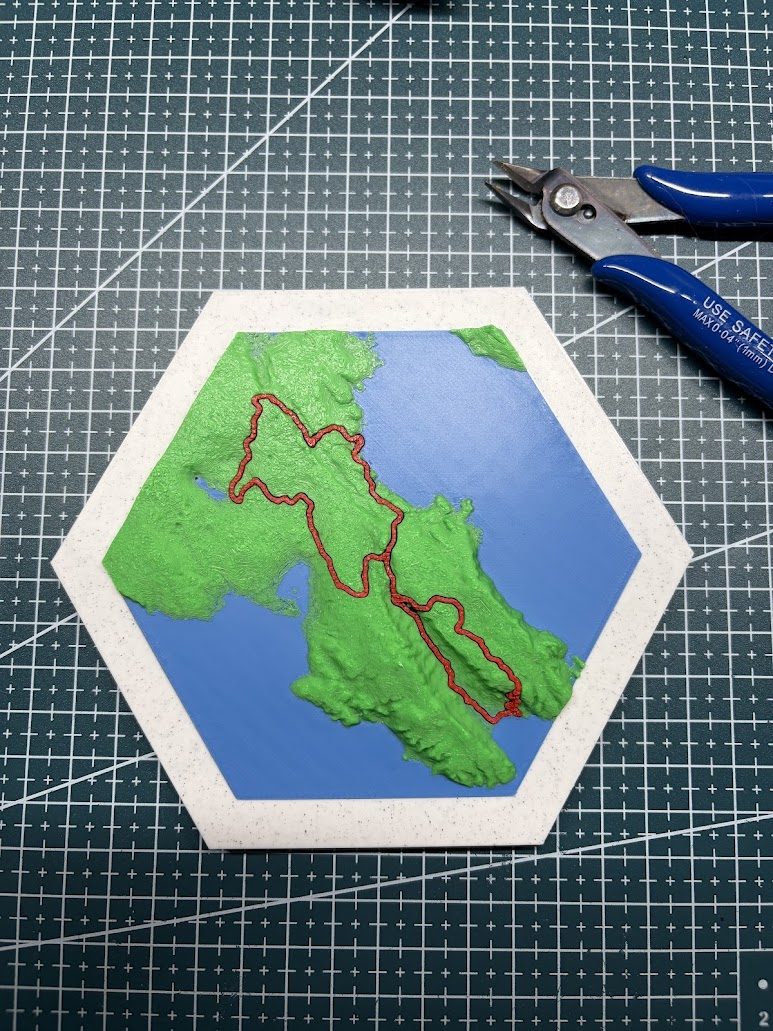
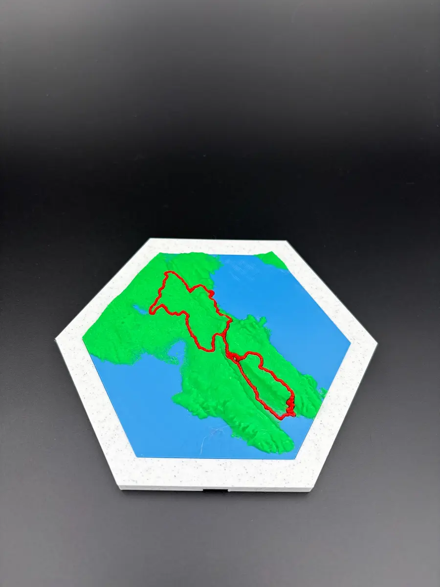
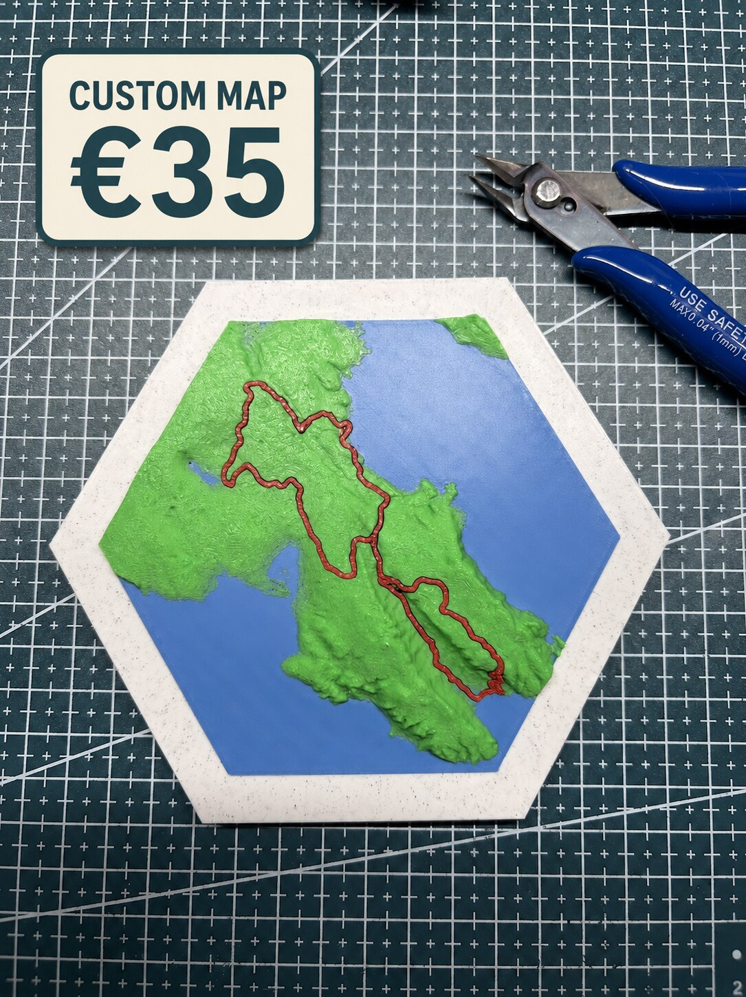
On the relief tile, Stage 1 explains the contrast that defines Krk. The shoreline sits immediately beside terrain that rises sharply into bare limestone. The route line is not visually complicated, but the ground underneath it shows why the stage can make an early difference.
Stage 2, Krk: the longest day
85 km and 1,850 m climbing
Krk appears again because the second day reaches farther across the island. Rolling terrain gives way to longer climbs, exposed coastal riding, forest, pasture and vineyard landscapes. The stage returns to Baška after another passage across the Moon Plateau.
Stages 1 and 2 share one island tile, but their route lines tell different stories. Together they show why Krk deserves more than a simple start marker in the collection. It is the only island asked to host the race twice.
Stage 3, Cres: remote and relentless
83 km and 1,900 m climbing
The third stage starts near the Merag ferry and sends riders directly uphill above the Adriatic. Cres feels longer and more isolated than the first two days. Remote settlements, open landscapes and changing trail surfaces make pacing important, while the published 1,900 metres of climbing gives this stage the largest elevation figure of the week.
Cres is also the most elongated island shape in the map collection. Its proportions make the highlighted route read like a long journey rather than a compact loop, which suits the character of the race day.
Stage 4, Unije: the time trial
23 km and 350 m climbing
Unije is the short stage, but it is not an empty day. The individual time trial replaces marathon pacing with precision. Riders climb from sea level, move past cliffs, a lighthouse and the island's small airstrip, then use fast tracks and descents to fight for seconds.
The Unije tile is the smallest visual element in the collection, which makes its role especially clear. Small island, short distance and potentially important gaps. The relief keeps it connected to the complete event without pretending every stage has the same scale.
Stage 5, Lošinj: the final technical test
42 km and 1,000 m climbing
The finale begins and ends in Mali Lošinj. Urban riding around the harbour quickly gives way to rocky summits, cliff-side singletrack, technical climbs and fast coastal sections. The distance is lower than the long Krk and Cres days, but the route still asks riders to use everything left after four previous stages.
Lošinj completes the wall composition and the race narrative. Its coastline, Mediterranean terrain and final route line make the last tile feel like an arrival rather than simply another island.
How the stage information becomes a map
The complete collection is built around geography first. Each island keeps its recognisable outline and terrain. The 2026 stage line is then placed across that relief, so the course can be read in relation to ridges, valleys, plateaus and coast.
This matters because a route without terrain loses part of its meaning. The same 20 kilometres can feel completely different on flat ground, loose limestone or a sequence of technical coastal climbs. Relief gives the route context without adding unnecessary graphics.
- Krk contains Stages 1 and 2.
- Cres contains Stage 3.
- Unije contains Stage 4.
- Lošinj contains Stage 5.
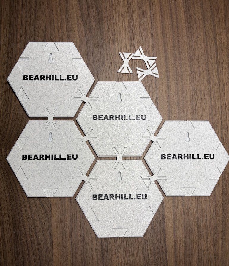
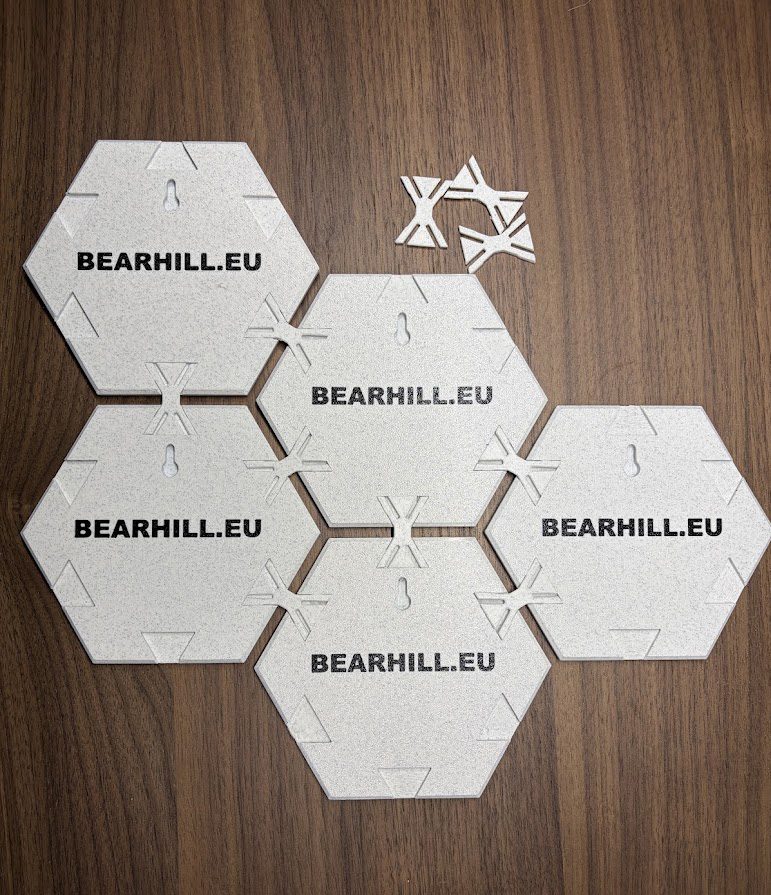
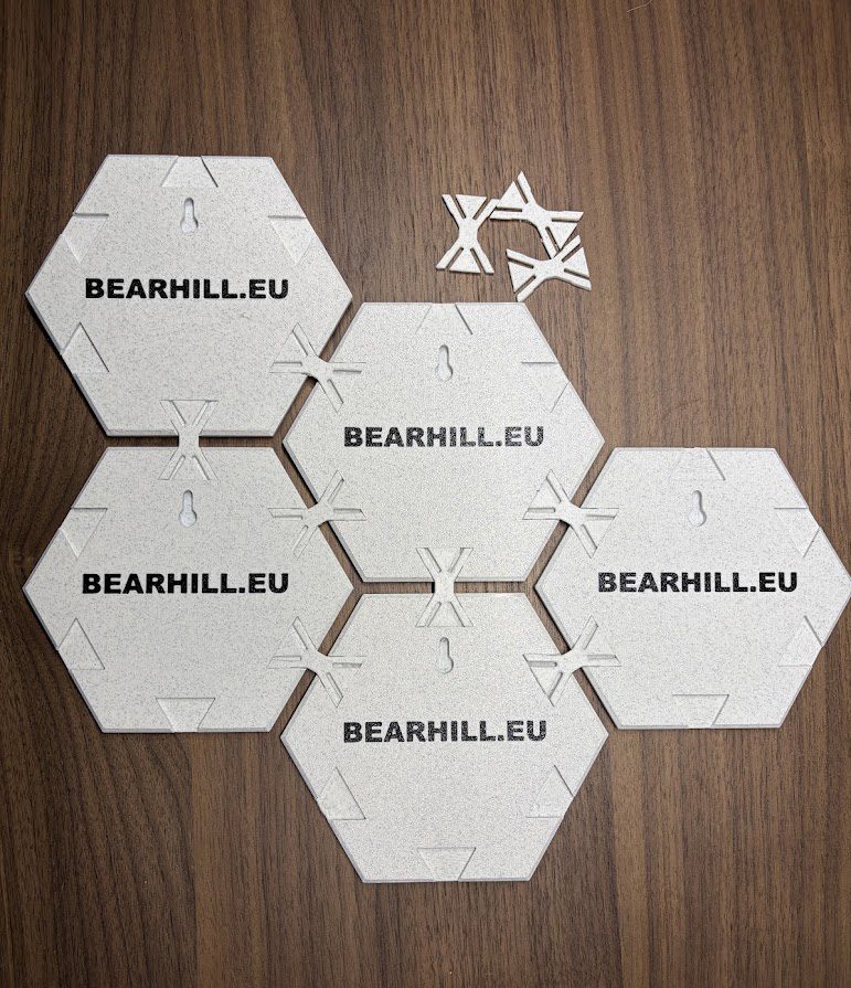
- The four pieces can be displayed as one modular collection.