My 4Islands story
Finisher Maps started on the trails, not in a product meeting.
The idea began with my own 4Islands experience. I came away with photographs, a GPS trace stored in an app and a head full of moments that were difficult to explain to anyone who had not been there.
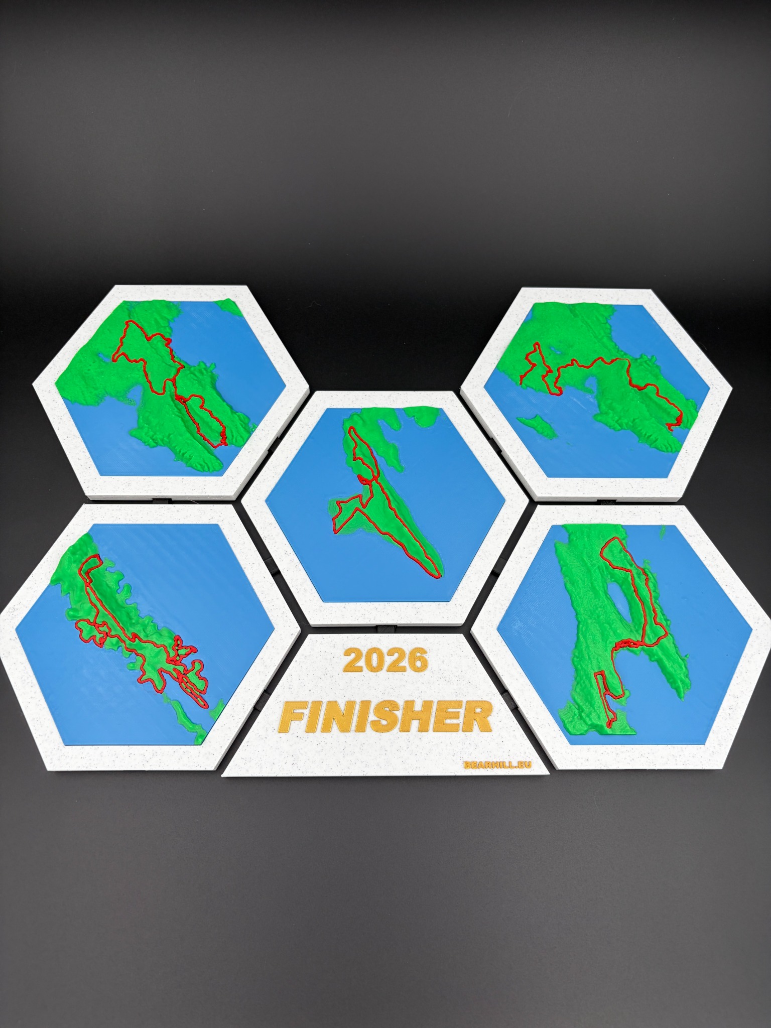
What stayed with me was not only the distance. It was the geography. Exposed limestone above Baška, the sea always appearing beside the trail, ferries moving the race from one island to the next, long remote sections and the strange contrast between a beautiful Adriatic view and a course that keeps asking for more.
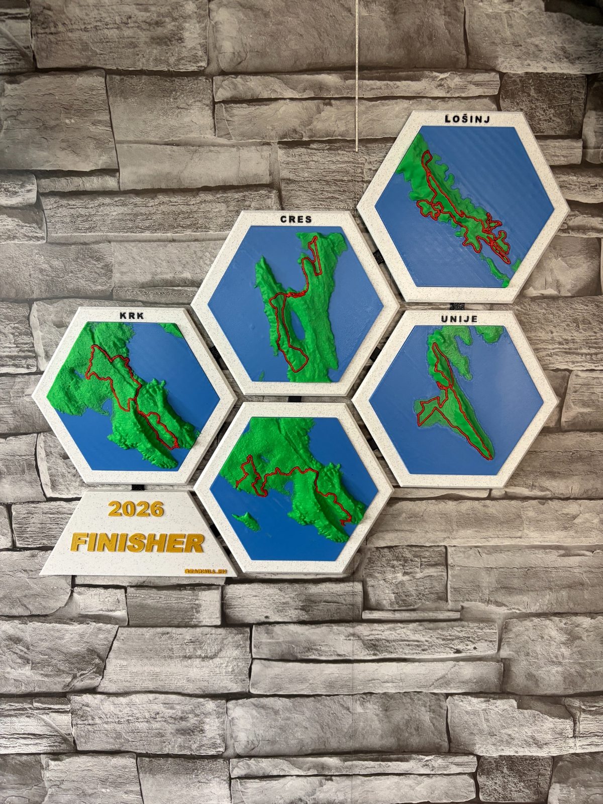
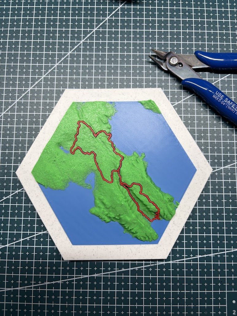
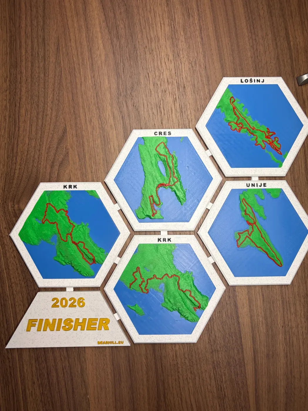
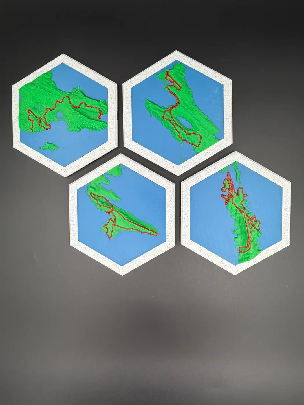
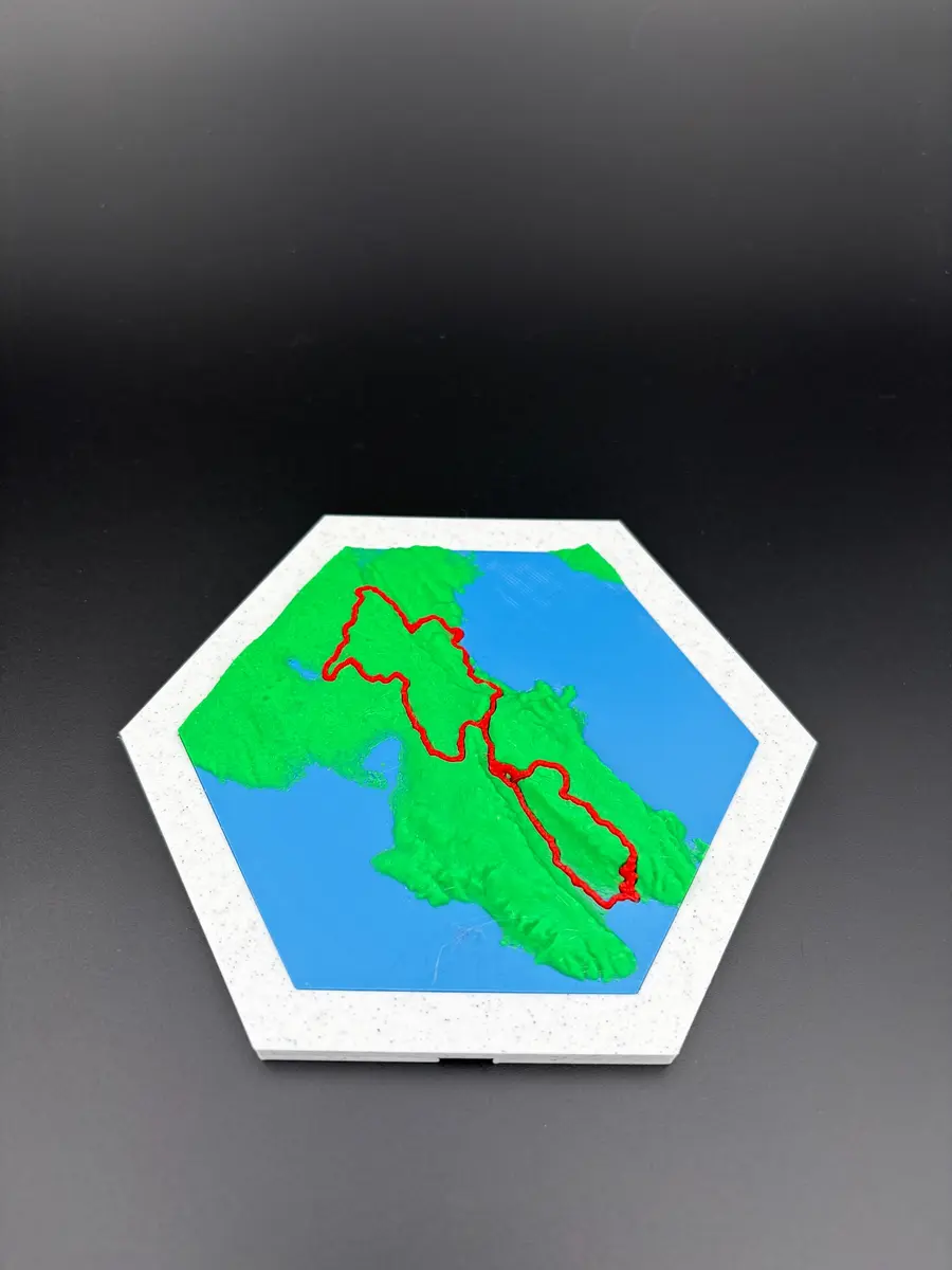
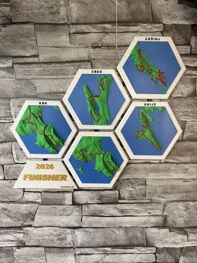
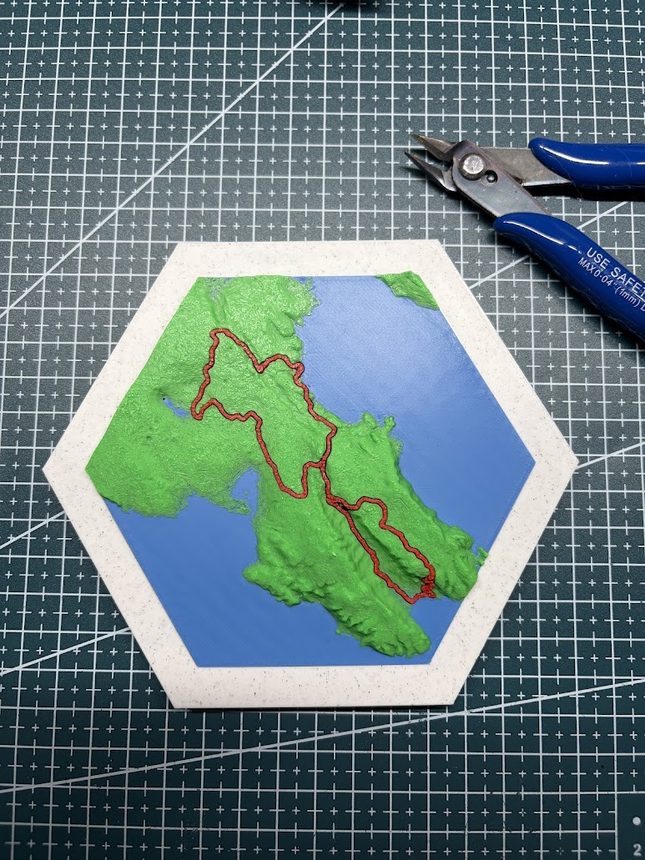
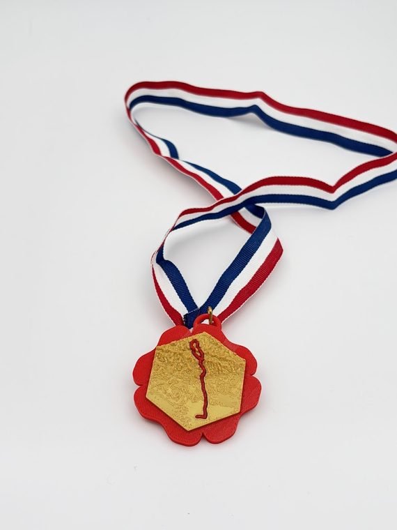
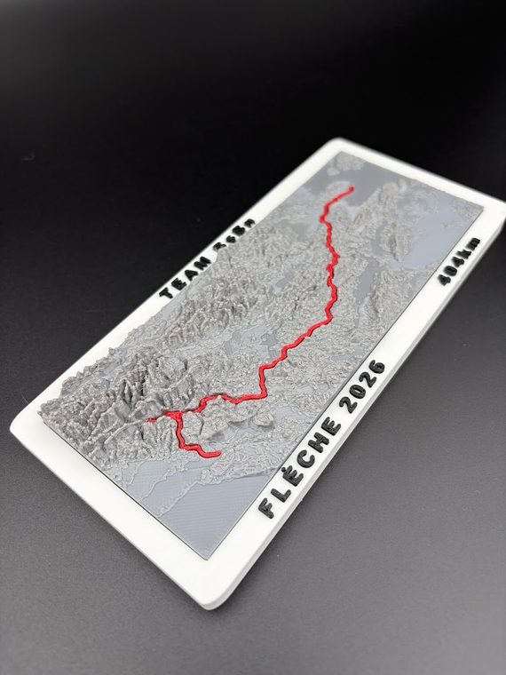
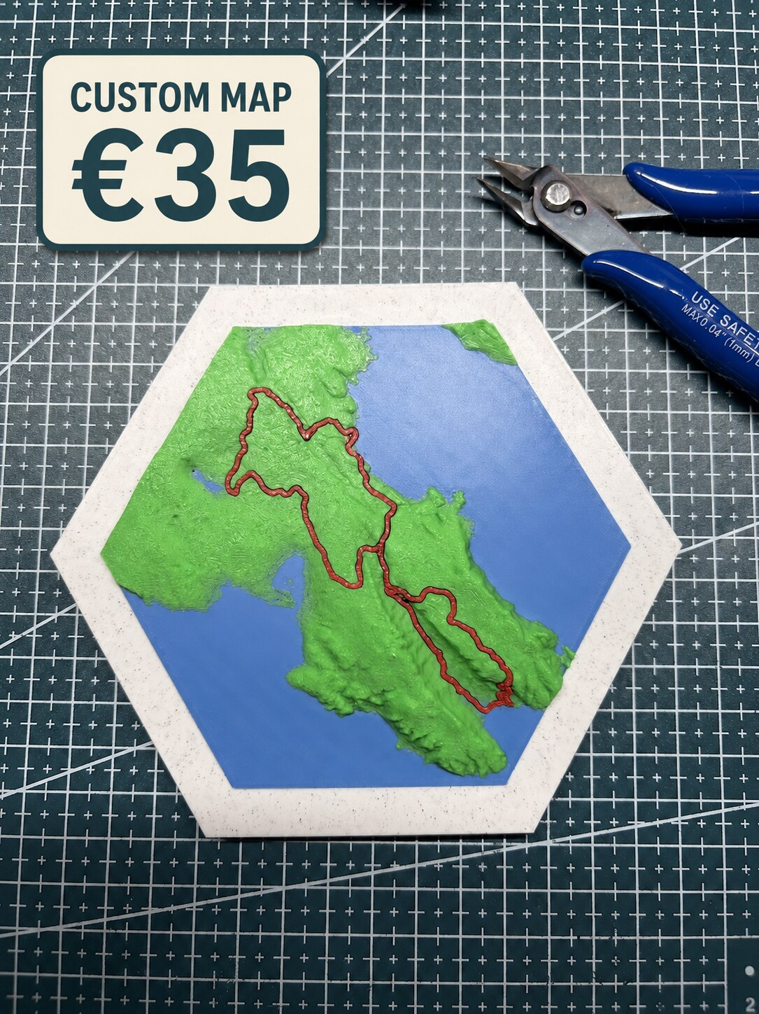
I wanted a memory that showed both the line we rode and the ground that made it hard. That thought became the first Finisher Map. The route was no longer buried in an activity feed. It sat across the real relief of the islands, with every coastline, ridge and stage still visible.
Finisher Maps now exists for other riders, runners and teams who feel the same way. You do not need to win a race for it to matter. Finishing the challenge you trained for is enough.
Made by a rider at Bearhill Lab, for people who remember every hard kilometre.