
First peaks and major ascents
A single mountain with the approach route, summit name, elevation, date and personal details.
A first summit, hut-to-hut journey, pilgrimage, expedition or long-distance trail represented with its actual terrain and your recorded route.
Send your mountain route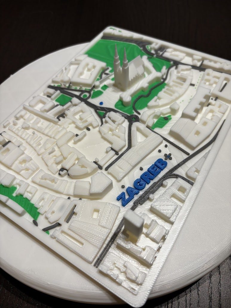
Mountain memories are tied to terrain: the ridge you followed, the pass between valleys, the approach to a summit and the distance between huts. Elevation data turns that landscape into a physical relief, while your GPX route follows the ground you actually crossed.
The map can focus on one peak, a circular hike, a hut-to-hut traverse, a national long-distance trail or a multi-day expedition. It can be made as a personal keepsake, a club award or a gift for a climbing partner.
Hiking and mountaineering maps work especially well where the shape of the landscape explains the achievement.
A single mountain with the approach route, summit name, elevation, date and personal details.
Multi-day crossings with stages, huts and important passes shown across connected terrain.
Sections or complete routes from long-distance hiking and walking projects.
Anniversary routes, member milestones, expedition gifts and summit awards with club branding.
The base shape and colours can be adapted, with text and branding integrated into the composition.
Share the GPX recording, route link, mountain name and date.
Focus on one summit, the full traverse or a wider geographic context.
Include names, elevations, huts, date, club, expedition, dedication or achievement.
The format, size, colours, timing and price are agreed before production.
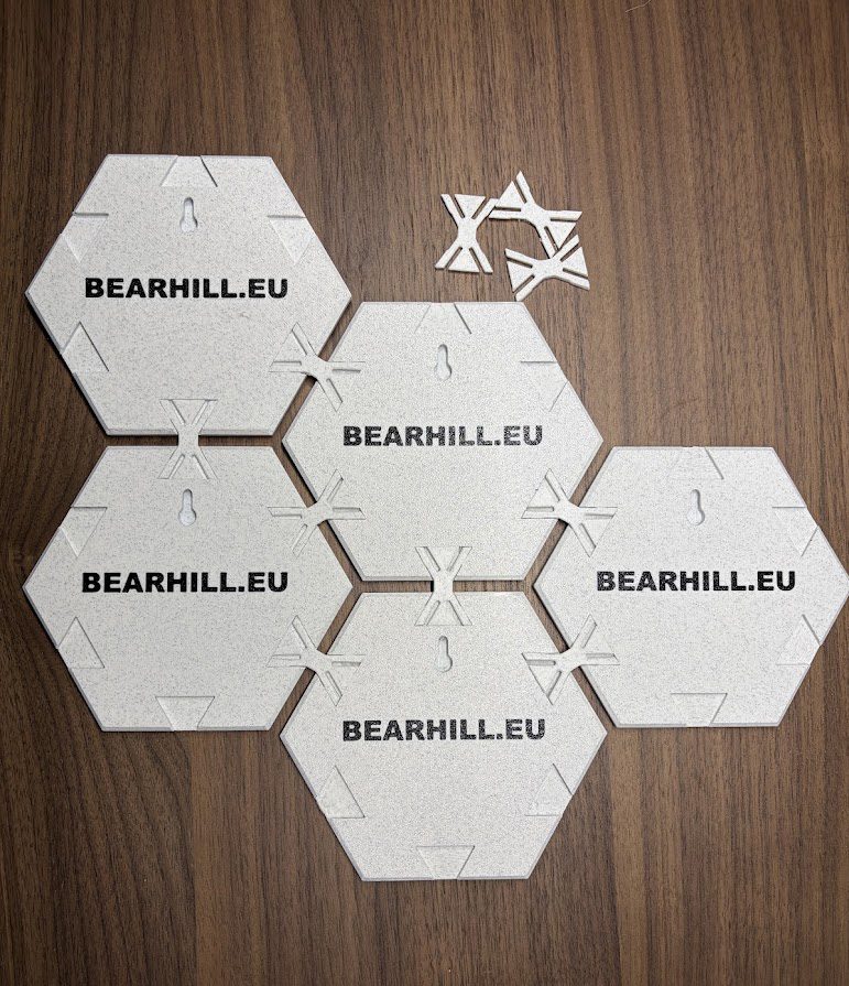
Long routes do not always fit one readable terrain crop. A modular set can divide a traverse into stages or regions while keeping them visually connected.
The connector system allows tiles to be rearranged, separated or expanded later.
Send the race or route name, year, the details you want on the map and the delivery country. A short message is enough for the first review.
Email: info@bearhill.eu
WhatsApp: +385 91 527 2499
WhatsApp messages only. This number is not used for phone calls.
For GPX, logo or photo attachments, email the files after submitting and use the same name.