
The full event route
Course, climbs, event year and result combined in one landscape-led composition.
Turn a gran fondo, brevet, bikepacking trip, first century, Everesting attempt or favourite local loop into a relief map of the actual landscape.
Create your cycling map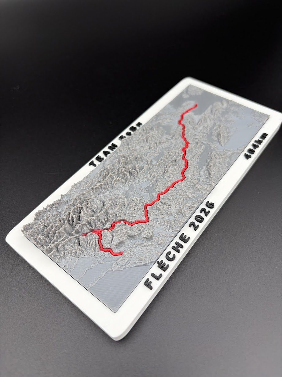
Road and gravel rides often cover more ground than the rider can see at any one moment. A relief map pulls the whole experience into one view. The route can be followed through valleys, over passes, around lakes and along coastlines, with elevation built into the object rather than reduced to a profile chart.
For a personal piece, the route is the starting point. The map can also include the ride name, date, distance, total climbing, rider or group name, finishing time and a short message.
Famous event or private challenge, the right subject is the one you would recognise from across the room.
Course, climbs, event year and result combined in one landscape-led composition.
A 200, 300, 400 or 600 km route simplified carefully so the line remains legible.
A point-to-point journey, border crossing or island tour with daily stages if needed.
The hill, total elevation and attempt details made visible without repeating the same line as clutter.
A personal milestone that deserves something more deliberate than an activity screenshot.
Annual tours, anniversary routes, club championships and member gifts in a consistent edition.
A cycling route may cover a compact mountain area or cross several regions. The same map size cannot show both with equal detail. A compact route allows more local topography, while a multi-day ride needs a wider view and a cleaner route line.
For very long bikepacking or brevet routes, the strongest solution may be one overview map plus selected terrain highlights, or several connected pieces. The aim is not to force every kilometre into one crowded object. It is to preserve the recognisable shape and geography of the ride.
The original GPX export is the best starting point. Public Strava, Komoot, Ride with GPS or Garmin links can help explain the route, but the downloadable track is more reliable for accurate placement.
A generic bicycle silhouette can fit anyone. A route map can only belong to the person who rode it. That makes it suitable for a birthday, retirement, team thank-you, anniversary of a major ride or a surprise after months of preparation.
If the map is a gift, a screenshot of the activity and the event name may be enough to begin. Exact files can be collected later if the recipient needs to help without seeing the final concept.
Clubs can commission a shared map of an annual route, sportive or tour. One sample can be made before a small batch. Race organisers can also use the course as the basis for finisher pieces, age-group awards, sponsor gifts or a numbered anniversary edition.
Mountain bike courses often need a tighter crop and different route treatment because technical terrain matters as much as the overall distance.
Explore MTB race maps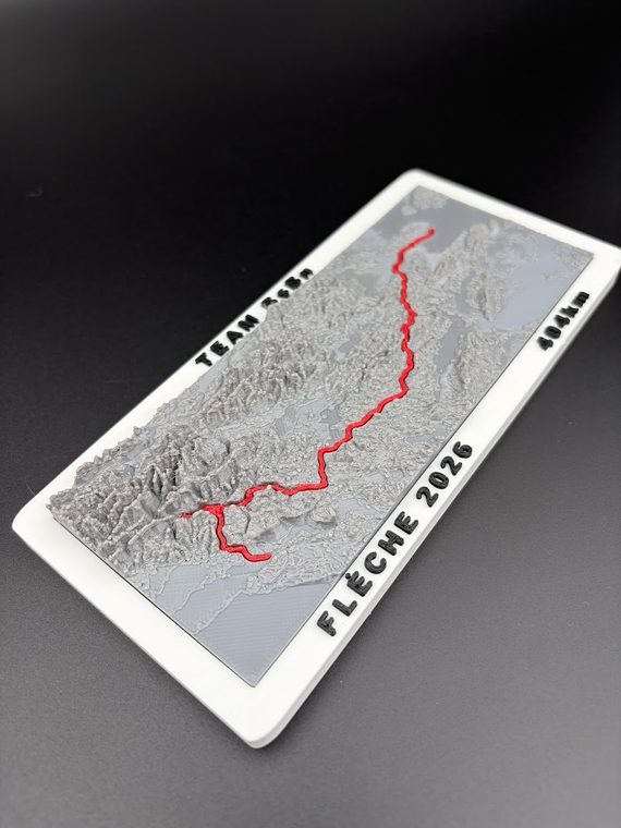
Send the race or route name, year, the details you want on the map and the delivery country. A short message is enough for the first review.
Email: info@bearhill.eu
WhatsApp: +385 91 527 2499
WhatsApp messages only. This number is not used for phone calls.
For GPX, logo or photo attachments, email the files after submitting and use the same name.